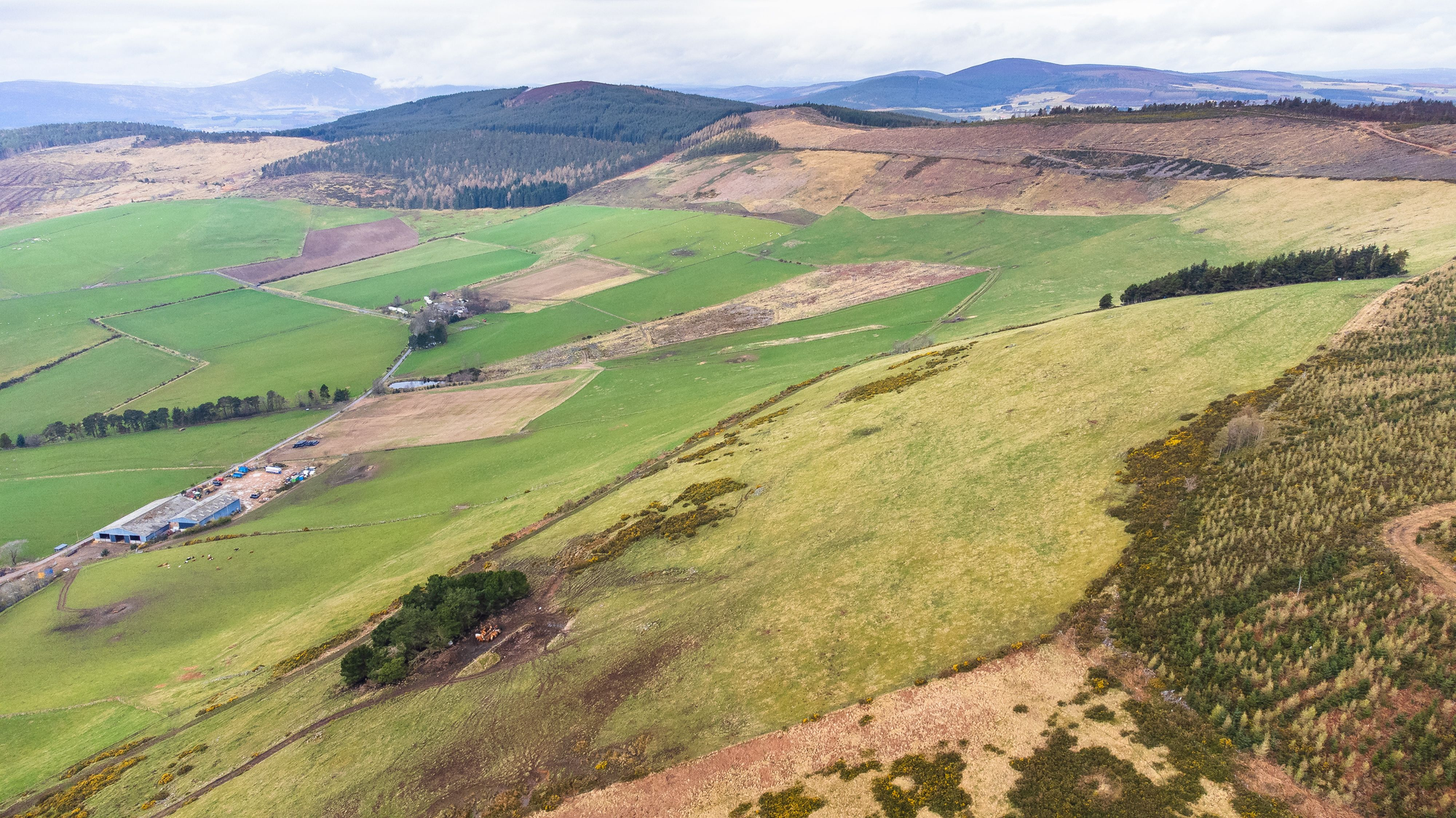
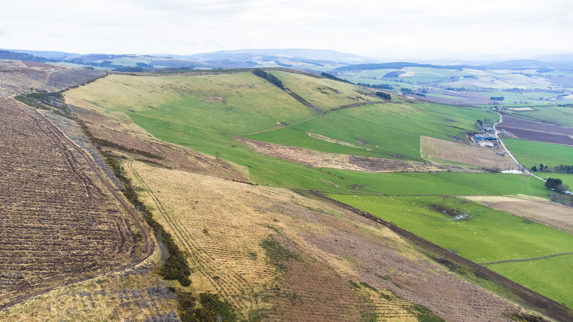
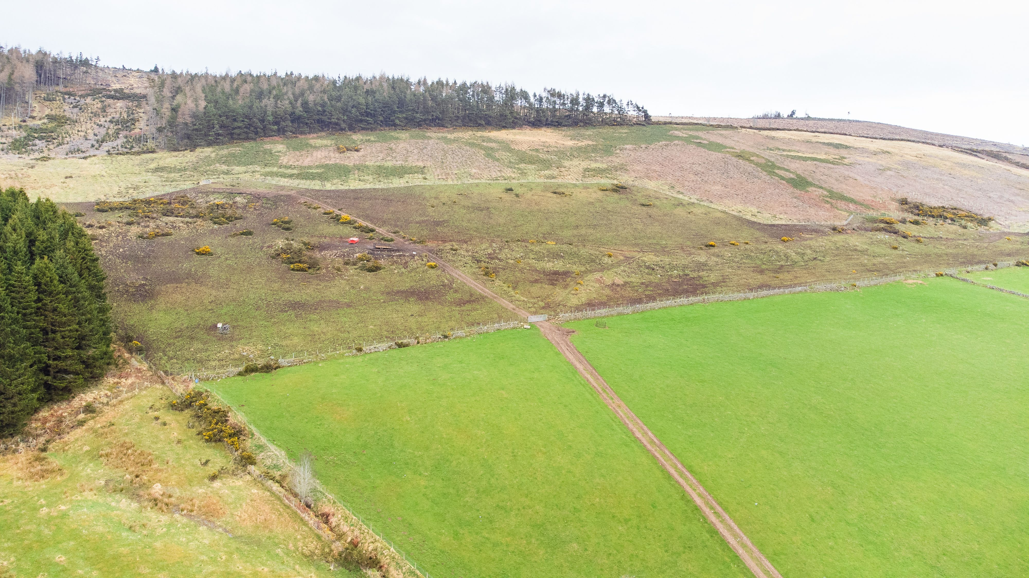
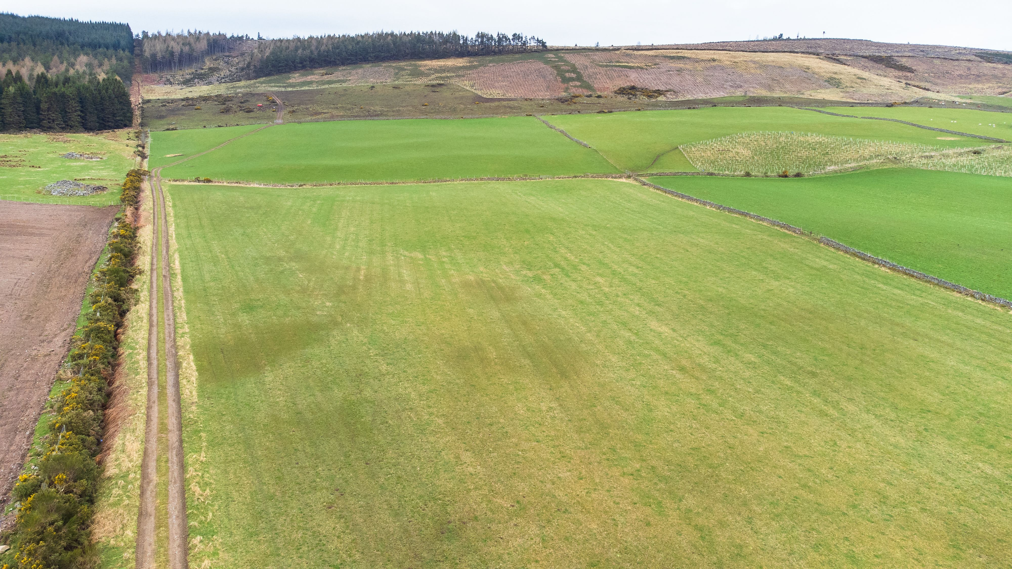
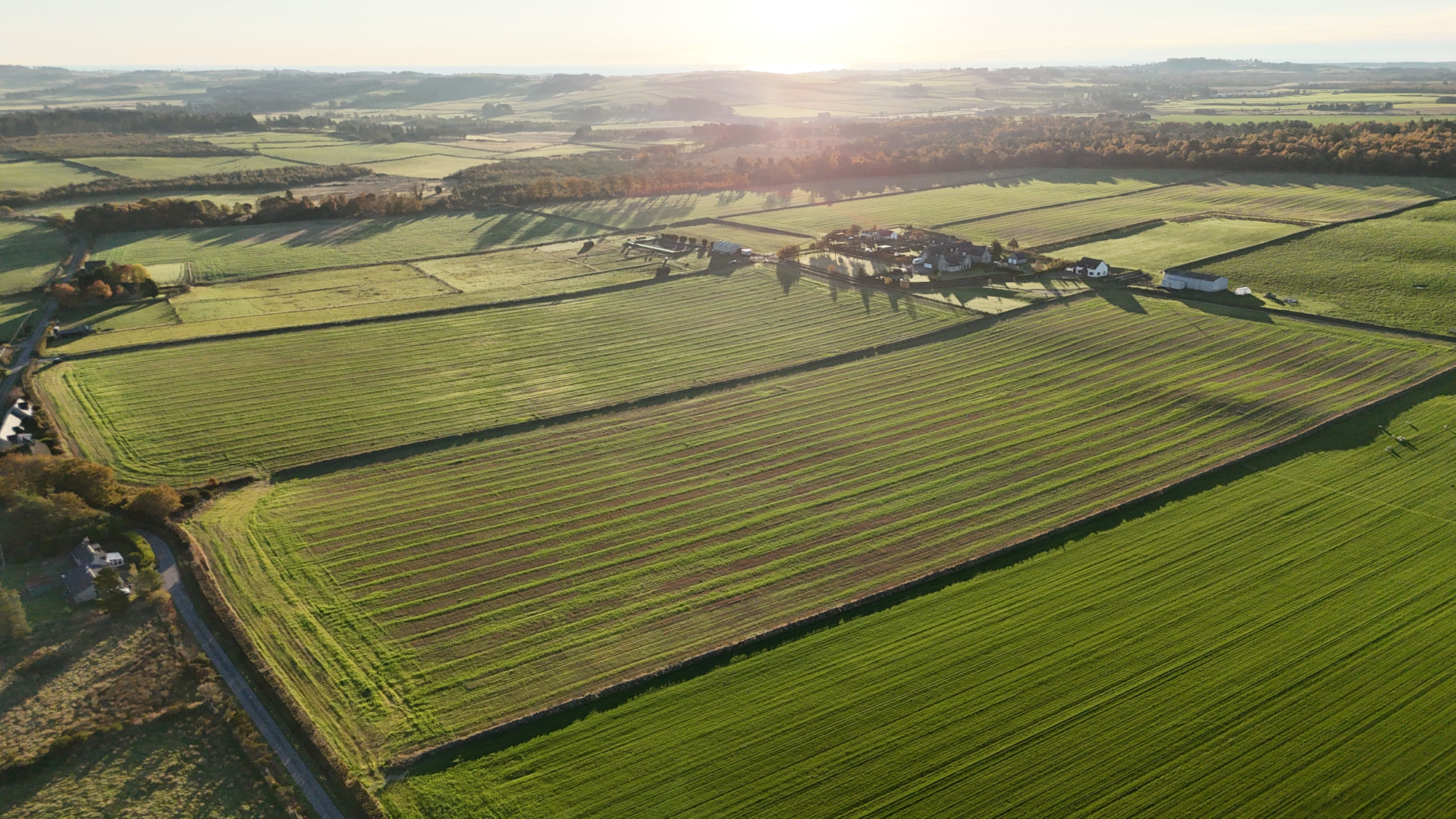
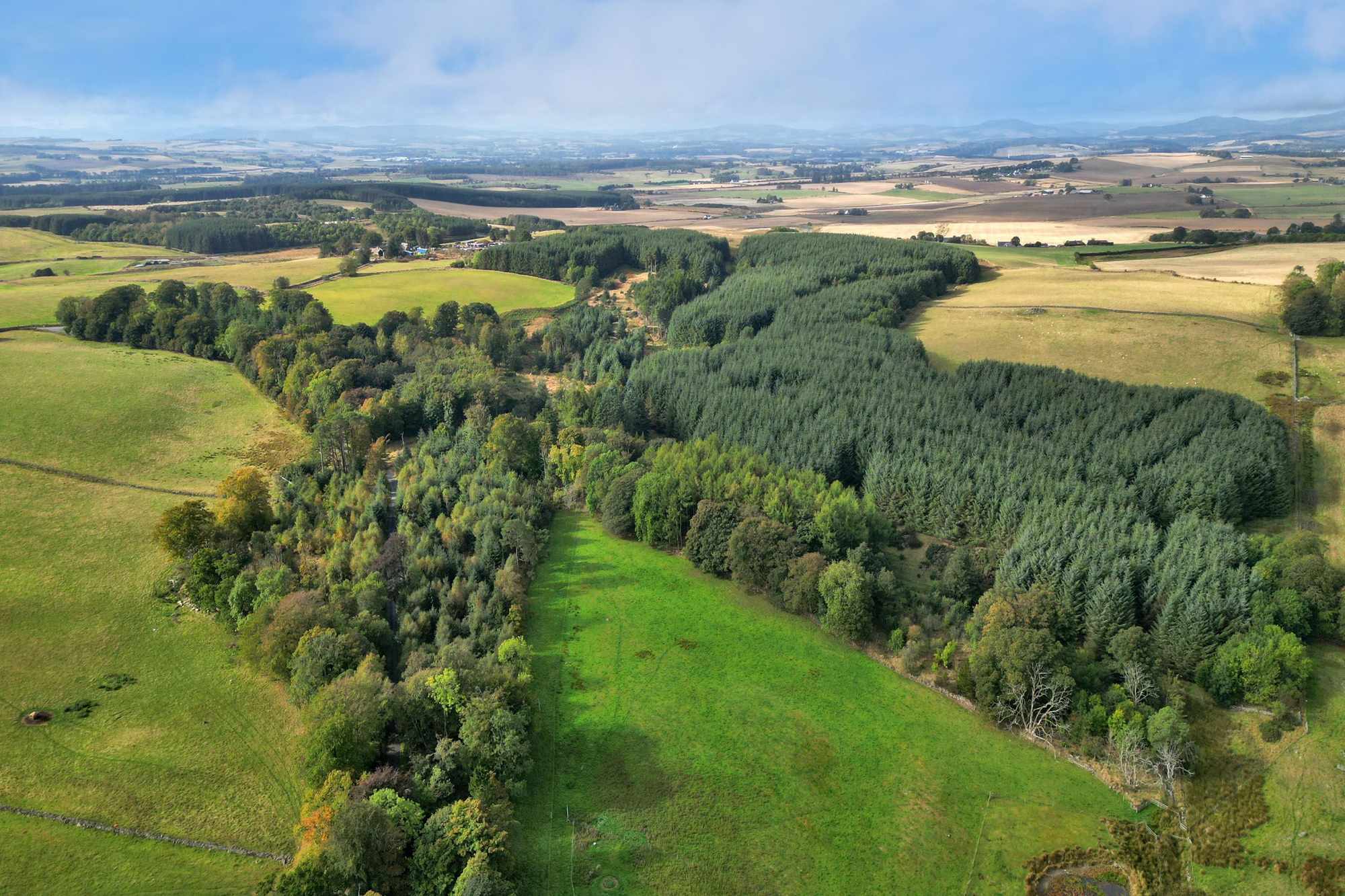
A block of south facing grazing land and newly planted woodland extending to 48Ha (119 acres) or thereby in total as per the attached sale plan. According to the Macaulay Institute for Soil Research (now the James Hutton Institute) this land is classified as Grade 5(3) with areas of 4(2) and 5(2). The south facing land rises from approximately 300m to 380m above sea level.
The subjects include an area of newly created woodland in part of field parcels 1 and 2 to the west extending to 12.94Ha (31.97 acres) or thereby. This conifer plantation (Sitka Spruce / Hybrid Larch) was established in 2021 under a Forestry Grant Scheme. The site receives shelter from higher ground to the north and the adjoining plantations to the west and north.
A right of access to the subjects will be available from the public roads at points A and B on plan.
There is a water tank at X (marked on plan) that feeds cattle troughs within the lower fields and the associated pipeline bisects the planting area. In addition a water supply (spring) and holding tank servicing Whitehouse is located at point Y and existing rights will remain for supply, maintenance and access.
